Datasets
79 datasets published by the City of Federal Way on its ArcGIS Hub.
79 results
 Areas
Zoning & Planning
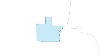
Regional Growth Center 2026
Regional Growth Centers (RGC) are locations of more compact, pedestrian-oriented development with a mix of housing, jobs, retail, services, and other destinations. Federal Way’s nomination of the City Center-Core (CC-C) zoning area as bound
 Areas
Stormwater
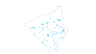
Stormwater Facilities
Stormwater sewer facilities (ponds, tanks, vaults, etc) in Federal Way and nearby areas.
 Areas
Environment & Hazards
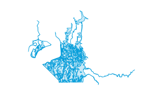
Soils
Soils in Federal Way.
 Areas
Zoning & Planning
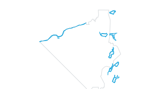
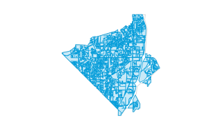
Shoreline Designations
Polygons of shoreline designations according to the city's shoreline master plan.
 Areas
Zoning & Planning
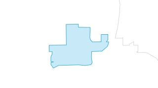
Zoning
Zoning designations passed by the city council of Federal Way. Includes residential, city center, commercial, and office zoning. Updated as new ordinances are passed.
 Areas
Zoning & Planning
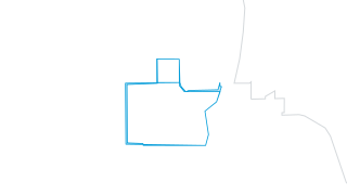
Revenue Development Area
Federal Way's revenue development area boundary. To participate in the LIFT program, local jurisdictions establish a revenue development area (RDA) and apply to the Community Economic Revitalization Board (CERB) for approval. There are curr
 Areas
Zoning & Planning
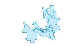
Regional Growth Center
Regional Growth Centers (RGC) are locations of more compact, pedestrian-oriented development with a mix of housing, jobs, retail, services, and other destinations. Federal Way’s nomination of the City Center-Core (CC-C) zoning area as bound
 Areas
Boundaries & Census
Regional Cities
Cities and unincorporated areas surrounding Federal Way in southwest King County and Northwest Pierce County. Includes the following cities: Algona, Auburn, Des Moines, Edgewood, Fife, Kent, Milton, Pacific, Puyallup, Ruston, Sumner, and Ta
 Points
Community & Facilities
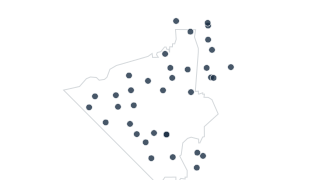
Public Schools
Locations of schools in Federal Way School District #210.
 Areas
Public Safety
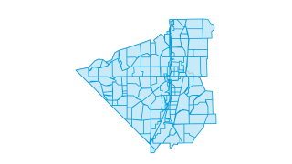
Public Safety Reporting Areas
Federal Way Public Safety reporting area boundaries.
 Areas
Property & Addresses
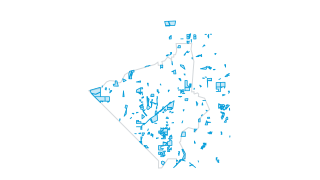
Public Parcels
A collection of only public parcels within Federal Way and surrounding areas. These parcels are owned by the City of Federal Way, other cities, the county, or the state and are thus designated as public land. Data is sourced from King Count
 Areas
Boundaries & Census
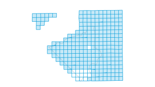
Public Land Survey System (King County)
Displays the public land survey system quarter sections within King County. Includes PLSS code, township, range, section, or quarter values for Federal Way, as well as other fields pertaining to the Federal Way Atlas and quarter section nam
 Points
Parks & Recreation
Public Beach Swimming
Point locations of public swimming beaches within the City of Federal Way and nearby areas.
 Areas
Zoning & Planning
Potential Annexation Areas
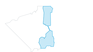
Potential city annexation areas in unincorporated King County. From King County's website: East Federal Way has been designated by the City of Federal Way as a potential annexation area (PAA), meaning the city intends to extend its borders
 Points
Parks & Recreation
Pools
Public swimming pools in Federal Way.
 Areas
Public Safety
Police Patrol Sectors
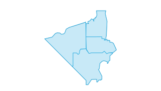
Federal Way Police Department's patrol sectors.
 Points
Community & Facilities
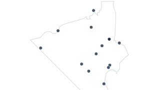
Points of Interest
Not updated! Points of interest within and near Federal Way, including parks, gardens, memorials, and education centers.
 Points
Parks & Recreation
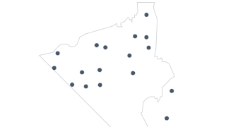
Play Areas
Point locations of play areas (playgrounds) in parks in and around Federal Way, including city, county, and state parks.
 Areas
Parks & Recreation
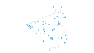
Parks
Federal Way parks system, including city, county, and state parks.
 Points
Parks & Recreation
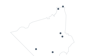
Park & Ride Lots
Park & Ride lots in and near Federal Way.
 Areas
Property & Addresses
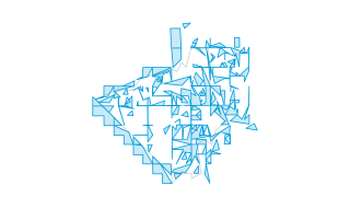
Parcels
Parcels in Federal Way and surrounding areas. Originally sourced from King County. Modified and maintained by the city. Updated as needed.
 Lines
Streets & Transportation
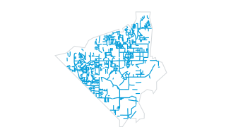
Street Overlay (Repaving) History
History of street overlay projects in Federal Way.
 Points
Community & Facilities
Other School Facilities
Administrative facilities utilized by Federal Way School District #210.
 Areas
Parks & Recreation
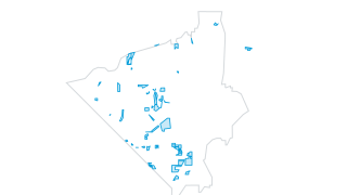
Open Spaces
Boundaries of designated open spaces in Federal Way.
 Areas
Zoning & Planning
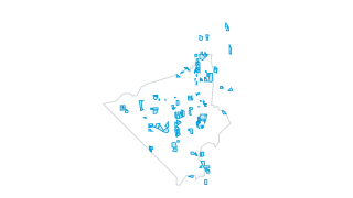
Multi-Family Developments
Parcels with multi-family developments in Federal Way. Maintained by the city. Updated as needed.
 Points
Community & Facilities
Libraries
Point locations of the two King County libraries in Federal Way.
 Areas
Environment & Hazards
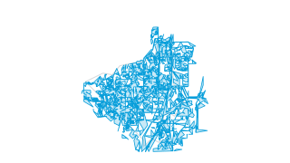
Impervious Surfaces
Impervious surfaces in Federal Way, sourced and maintained by the City of Federal Way. Includes buildings, sidewalks, pavement, and paved edges. Updated as needed.
 Points
Community & Facilities
Hospital
Point location for the full service (including emergency room) hospital in Federal Way.
 Areas
Zoning & Planning
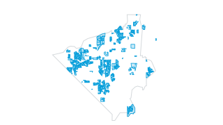
Homeowner Associations
Neighborhood homeowner association polygon boundaries within Federal Way. Sourced and maintained by the city. Not recently updated.
 Areas
Environment & Hazards
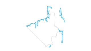
Landslide Hazard Areas
Polygons of landslide hazard areas in Federal Way and surrounding areas. These areas are sensitive to landslides due to steeper slopes. Sourced from King County.
 Areas
Zoning & Planning
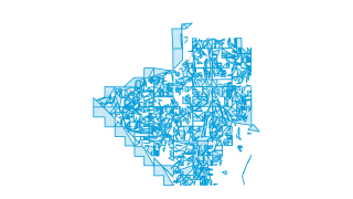
Current Land Use
Parcels and associated current land use in Federal Way and surrounding areas. Originally sourced from King County. Modified and maintained by the city. Updated as needed.
 Areas
Environment & Hazards
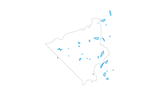
Lakes
Polygon layer of lakes in Federal Way and surrounding areas. Some small lakes do not include names. Updated as needed.
 Areas
Parks & Recreation
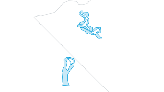
Golf Courses
Polygon boundaries of golf courses in and near Federal Way. Twin Lakes and Northshore Golf Courses.
 Points
Public Safety
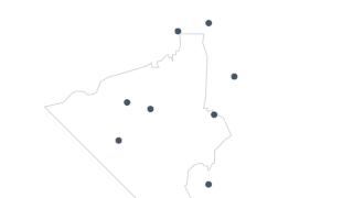
Fire Stations
Point locations for South King Fire Department's fire stations in and around Federal Way.
 Areas
Environment & Hazards
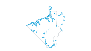
Erosion Hazard Areas
Polygon layer of areas that are sensitive to erosion within the city of Federal Way and surrounding areas. Sourced from King County.
 Points
Community & Facilities
Driver and Auto Licensing Offices
Point locations of Washington State DOL driver licensing office and Federal Way Licensing Service.
 Areas
Stormwater
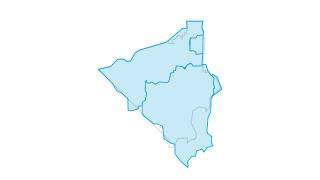
Drainage Basins
Polygons of the drainage basins for the city of Federal Way and surrounding areas.
 Areas
Zoning & Planning
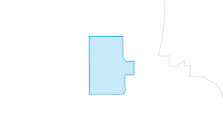
Downtown SEPA Area
Under the State Environmental Policy Act (SEPA), a planned action ordinance is a way to have an environmental review of a specific geographic area before any permits have been filed. The City of Federal Way conducted an Environmental Impact
 Points
Zoning & Planning
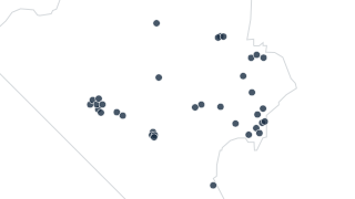
Development Agreements
A point callout related to zoning. Sets a number and corresponding description of zoning for a legend. A development agreement allows for less or more than zoning allows. These points provide more detailed information on the agreements.
 Areas
Zoning & Planning
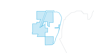
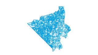
Countywide Center
Countywide growth centers (CWC) are intended to serve important roles as places for equitably concentrating jobs, housing, shopping, and recreational opportunities Often smaller downtowns, high-capacity transit station areas, or neighborhoo
 Areas
Zoning & Planning
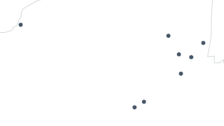
Comprehensive Plan
This layer contains the 2024 comprehensive zoning plan for the city of Federal Way. A comprehensive plan is required by the state of Washington every 10 years. It conveys the goals, objectives, policies, actions, and standards that will gui
 Points
Community & Facilities
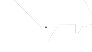
City Facilities
Location of city-owned and operated facilities. Includes City Hall, Community Center, Dumas Bay Center, maintenance facilities, and police substations.
 Points
Community & Facilities
Cemetery
There is one cemetery in Federal Way, Gethsemane Cemetery.
 Points
Community & Facilities
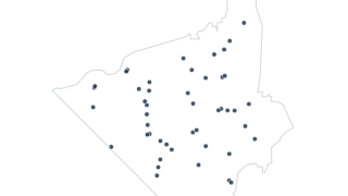
Cell Towers
Cell tower points in Federal Way.
 Points
Parks & Recreation
Camp Grounds
Federal Way has one camp ground within city limits, located in Dash Point State Park.
 Points
Parks & Recreation
Boat Launches
Boat launches for lakes in and around the city of Federal Way. Includes five launches for Lake Dolloff, Lake Geneva, Lake Killarney, North Lake, and Steel Lake.
 Lines
Parks & Recreation
Boardwalks in Parks
Boardwalk network in West Hylebos Wetlands Park.
 Areas
Boundaries & Census
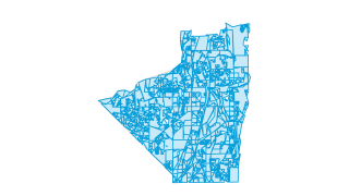
Census Blocks (2000)
2000 Census blocks for Federal Way
 Areas
Boundaries & Census
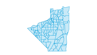
Census Block Groups (2000)
2000 Census block groups for Federal Way
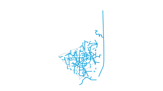 Lines
Streets & Transportation
Bicycle Routes
Line features for bike boulevards, bike lanes, enhanced shared sidewalks, paved trails, shared lane markings, streets, and streets & signs.
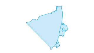 Areas
Zoning & Planning
Annexations
Federal Way annexation history.
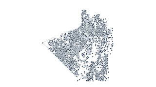 Points
Property & Addresses
Addresses
Address points of Federal Way.
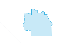 Areas
Zoning & Planning
Twin Lakes Subarea
The Twin Lakes Commercial District Subarea is the products of a Communities Putting Prevention to Work (CPPW) grant from the Centers for Disease Control and administered by Public Health – Seattle & King County. The term of the grant contra
 Points
Community & Facilities
US Post Offices
Point locations of US Post Offices in Federal Way.
 Points
Environment & Hazards
Sphagnum Bogs
Known sphagnum moss bog in Federal Way.
 Points
Stormwater
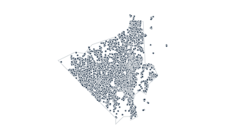
Stormwater Structures
Federal Way Storm Structure Layer
 Lines
Parks & Recreation
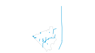
Trails
DEVELOPED TRAILS IN FEDERAL WAY
 Areas
Boundaries & Census
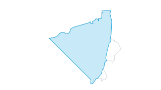
City Limits (1990)
Federal Way city limits at incorporation.
 Areas
Stormwater
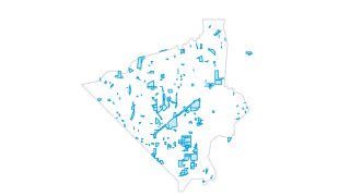
Stormwater Easements
Land easements reserved for stormwater management purposes within the city of Federal Way and surrounding areas.
 Points
Streets & Transportation
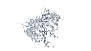
Street Lights
Street lights in Federal Way.
 Areas
Community & Facilities
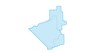
Federal Way School District
Federal Way School District boundary.
 Areas
Stormwater
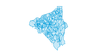
Stormwater Subcatchments
SUB-CATCHMENT BASINS IN FEDERAL WAY.
 Areas
Zoning & Planning
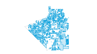
Subdivisions
Subdivisions within Federal Way. Includes residential, commercial, industrial, and office park subdivisions.
 Areas
Boundaries & Census
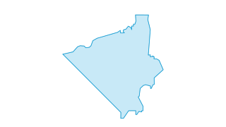
City Limits
Federal Way city limits
 Lines
Stormwater
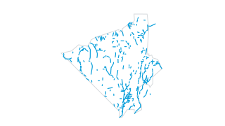
Stormwater Open Channels
Federal Way Open Conveyance Layer
 Areas
Zoning & Planning
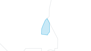
Enchanted Parkway Corridor
Enchanted Park amusement park.
 Lines
Streets & Transportation
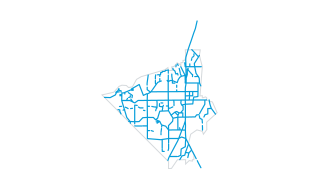
Snow Plow
Primary and secondary snow plow routes in Federal Way.
 Areas
Boundaries & Census
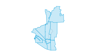
ZIP Codes
Polygons of the zip codes that cover the city of Federal Way and surrounding areas. Adjusted by the city to fit property lines. Last updated 2008.
 Points
Stormwater
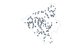
Stormwater Outfalls
Federal Way Storm Outfall Layer
 Points
Streets & Transportation
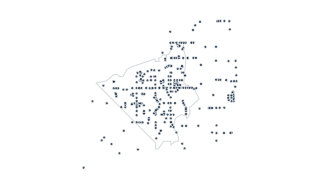
Traffic Signals
Existing and proposed traffic signals in and around the city of Federal Way. Includes type of signal (flasher, signal, etc) as well as location. Data for signals within city limits maintained by the city and updated as needed.
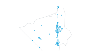 Areas
Community & Facilities
Shopping Centers
Shopping centers of Federal Way.
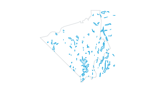 Areas
Environment & Hazards
Wetlands
WETLANDS IN THE CITY OF FEDERAL WAY
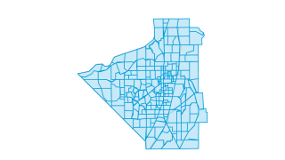 Areas
Streets & Transportation
Traffic Analysis Zones
TRAFFIC ANALYSIS ZONES IN FEDERAL WAY
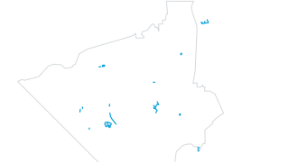 Lines
Parks & Recreation
Informal Trails
Trails in and near the city of Federal Way with no signage and may or may not be paved. Trails are known to exist but may or may not be maintained by the city. Updated as needed.
 Points
Parks & Recreation
Golf Course Parcels
Point locations of Twin Lakes and Northshore Golf Courses in and near Federal Way.
 Lines
Stormwater
Stormwater Pipes
Federal Way Storm Pipe Layer
 Lines
Environment & Hazards
Streams
STREAMS ID BY 1998 WETLAND SURVEY
 Areas
Boundaries & Census
Census Tracts (2000)
2000 Census tracts for Federal Way
 Lines
Streets & Transportation
Streets
STREETS IN THE CITY OF FEDERAL WAY