
Welcome to the
Federal Way Open Data
Find, explore and query the City's public data: parcels, zoning, parks and trails, schools, stormwater, hazard areas and more.
- 79
- Datasets
- 268,504
- Records
- 9
- Categories
What’s at my address?
Your zoning, police patrol sector, hazard areas, and the nearest park, school and fire station.
Browse by category
Every public dataset from the City's ArcGIS Hub, grouped by topic.
Federal Way in layers
Parks, open space, lakes, streams, streets, trails, bike routes and schools, drawn straight from the City’s published data. Pick a layer to open it, or combine any of them on the map.
Open the mapFederal Way in layers
drawn from this portal’s dataData story
How far is your nearest park?
We measured 21,256 addresses to the nearest of the city’s 40 parks. 85% are within 800 m, about a ten minute walk; one ZIP code is the exception.
Read the story →Popular datasets
Open any dataset to preview it as a table or map, query it, and download it in the format you need.
 Areas
Zoning & Planning
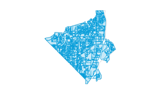
Zoning
Zoning designations passed by the city council of Federal Way. Includes residential, city center, commercial, and office zoning. Updated as new ordinances are passed.
 Areas
Property & Addresses
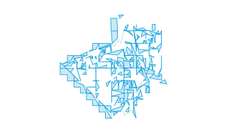
Parcels
Parcels in Federal Way and surrounding areas. Originally sourced from King County. Modified and maintained by the city. Updated as needed.
 Areas
Parks & Recreation
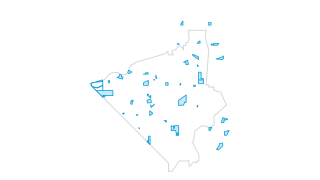
Parks
Federal Way parks system, including city, county, and state parks.
 Points
Community & Facilities
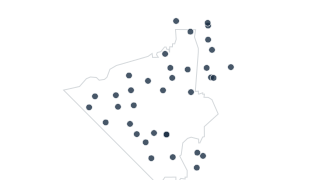
Public Schools
Locations of schools in Federal Way School District #210.
 Lines
Parks & Recreation
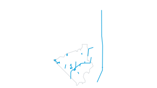
Trails
DEVELOPED TRAILS IN FEDERAL WAY
 Areas
Environment & Hazards
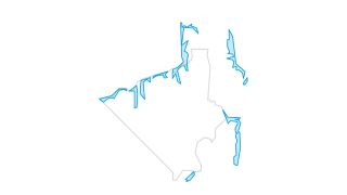
Landslide Hazard Areas
Polygons of landslide hazard areas in Federal Way and surrounding areas. These areas are sensitive to landslides due to steeper slopes. Sourced from King County.
Recently updated
 Areas
Zoning & Planning
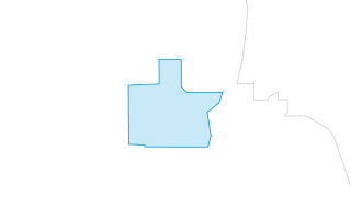
Regional Growth Center 2026
Regional Growth Centers (RGC) are locations of more compact, pedestrian-oriented development with a mix of housing, jobs, retail, services, and other destinations. Federal Way’s nomination of the City Center-Core (CC-C) zoning area as bound
 Areas
Stormwater
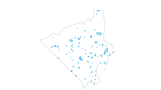
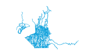
Stormwater Facilities
Stormwater sewer facilities (ponds, tanks, vaults, etc) in Federal Way and nearby areas.
 Areas
Environment & Hazards
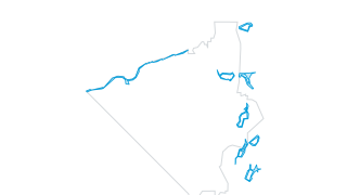
Soils
Soils in Federal Way.
 Areas
Zoning & Planning
Shoreline Designations
Polygons of shoreline designations according to the city's shoreline master plan.
AreasZoning & Planning
Zoning
Zoning designations passed by the city council of Federal Way. Includes residential, city center, commercial, and office zoning. Updated as new ordinances are passed.
 Areas
Zoning & Planning
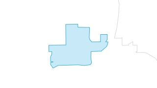
Revenue Development Area
Federal Way's revenue development area boundary. To participate in the LIFT program, local jurisdictions establish a revenue development area (RDA) and apply to the Community Economic Revitalization Board (CERB) for approval. There are curr
Using the data
Terms of use
The City shares this data on its GIS Open Data Hub with a GIS disclaimer: it is provided as is, without warranty, and is not a legal or survey record. Check it before you reuse the data.
Find and use a dataset
Search by name or browse by category. Tables open in a sortable, filterable preview you can query with SQL; map layers open on a map. Everything downloads as CSV, and connects to the live ArcGIS service.
Missing something?
Ask the City’s GIS team at it-gis@cityoffederalway.com, the contact listed on every dataset on the City’s Hub.
Reports and City tools
The City also publishes these reports and tools.
- City website
Council meetings, services, news and how to reach City departments.
- GIS Open Data Hub
The City’s ArcGIS Hub, with its web maps and apps: the waste and recycling map, “Is this address in Federal Way?” and the development dashboards.
Your ArcGIS stays the source
Nothing changes for the City’s GIS and open data team. Data keeps being managed in ArcGIS; this site reads it, can refresh on a schedule, and gives residents a faster way in: search across every dataset, tables and maps that load instantly, and queries that run in the browser.